Bike the Levees 2026
Día
sábado, 29 de agosto de 2026
Reunión
9:00
Sale
9:30
Dónde
-
1880 NE Elrod Dr
«Flood Safety District office»
Portland, OR 97211 · Sunderland
Se abre en una pestaña nueva
- 17 NE 21st & Riverside Way · 5 min a pie
Distancia
9,3 mi
Forma de la ruta
De un punto a otro
Para quién es
General
Terreno
Casi plano
Superficie
Pavimentado
Acerca de
Did you know there are 27-miles of levees along the lower Columbia River? These levees reduce the risk of flooding for tens of thousands of jobs and households, places of cultural and historical significance, and hundreds of acres of parks and natural areas.
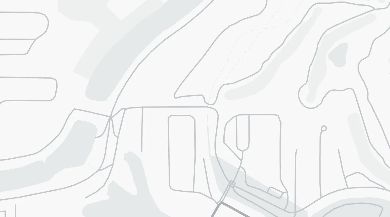
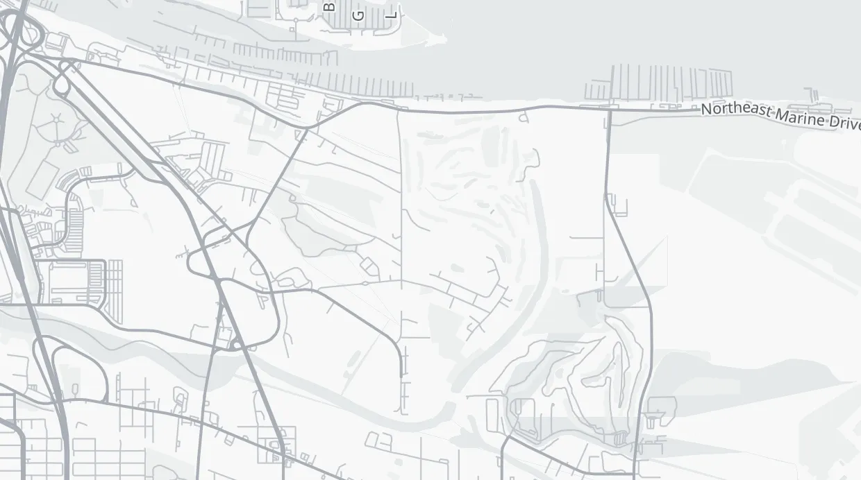
Join the Flood Safety District and the Columbia Slough Watershed Council for a bike tour of a section of our levee system. Our route will take us along Marine Drive, into the Bridgeton Neighborhood, to Delta Park, and back to the District office for an 8-10-mile slow paced ride. Our stop at Delta Park will be ~10:30 a.m. if you'd like to join the ride.
Please keep in mind:
- We will be biking along Marine Drive which has fast traffic.
- There is one section on the ride that goes down some gravel.
- There will be snacks and refreshments at the beginning of the ride and at our stop in Delta Park, but please bring your own water.
Follow the ride route at Ride With GPS: https://ridewithgps.com/routes/56111716